
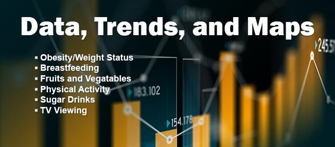
Check Out Our Updated Data, Trends and Maps Site!
Keep Up-to-Date with Nutrition, Physical Activity, and Obesity Data.
CDC’s Division of Nutrition, Physical Activity, and Obesity (DNPAO) has made important updates to the Data, Trends and Maps database. Users can now download data to create their own datasets, maps, graphs, and other visuals. The most current data for all indicators has also been added.
 As always, you can view maps, tables, charts, and trend data in the areas of:
Our database includes state-level behavior, policy, and environmental indicators from multiple data sources. Housed on a new data platform, the Data, Trends and Maps system now provides more user-friendly features. As before, you can display all indicators for one state, or you can select one indicator and view data across all states. You can also sort data by demographic information such as income, race or ethnicity, gender, age, and more. |
How can users access the database? You can access the database from DNPAO’s website at Data, Trends and Maps. You can also post the Data, Trends and Maps web button on your own website so that your visitors can link directly to the database.


No hay comentarios:
Publicar un comentario